
Voronoi fun
Nah, as a Bendigonian, this is fucked up erasure and a NSW psyops misinformation campaign.
Ok I reverse image searched it, and apparently it’s at least 7 years old. Since Bendigo was at 103,000 in 2021, I’m guessing it just missed out on the cutoff in 2018.
Tagging @BlueSquid0741@lemmy.sdf.org
Where’s Didjabringabeeralong?
Wollongong, Newcastle and Geelong are cities, but not Bendigo?
I don’t think “nearest city” is the best description.
It looks like, ABS identifies every urban area with at least 10,000 people, and then tags it with “the most relevant” centre in the region, or something like that.
So it’s something like, the way in which ABS divides localities into statistically useful segments.
I’m not sure I take your meaning. As best I can tell, it’s simply a Varonoi diagram centred on Australia’s cities of over 100k. The only complicated bit is how they chose the exact centre point of each city, especially Sunshine Coast and Central Coast. How the lines are drawn doesn’t seem to be based on any statistical data beyond that.
Isn’t the city centre usually defined as the post office?
I don’t know for sure, but that doesn’t really sound true. It sounds like on of those “just so” stories. Like when people say the definition of a “city” is a place that has a cathedral.
The GPO was the location for Main Roads Departments eg when it says 25 km to Ingham, they mean to the main Post Office. Well it was back when I worked for Qld Main Roads in the 1980s as a Surveyor. I forget the designated names for post offices, I think GPO was the main one in each town and PO was other branches ?
Of course when it says 25km to X and X has no PO I can’t remember what they used ?
That might be of zero consequence to the ABS or this map.
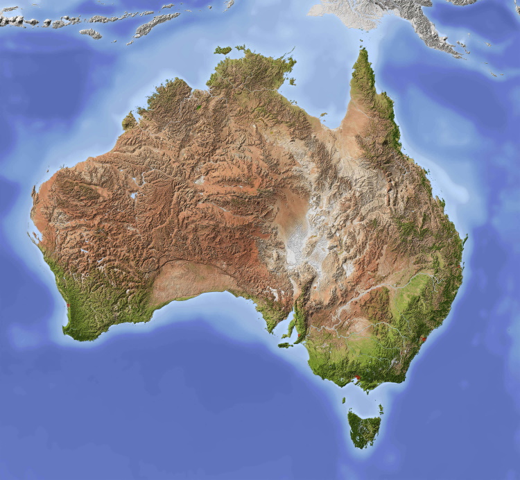
It’s a Voronoi diagram. It’s nearest distance (in a straight line, not by road).
People often ask why house prices are so high when we have so much space?
Then you realise how insanely clustered our population is with something like the visual representation here.
To someone who doesn’t know where the population clusters are, this map isn’t a good visual representation.
Also, clustered populations isn’t really the reason for our house prices being what they are.
the more meaningful way to map australia
I don’t see how you can possibly call Central Coast a single city, it’s at least 3 rather distinct urban areas.
It’s because legally, it’s part of a single Local Government Area. The same could be said of the Sunshine Coast, which contains 6 different sub-regions according to Wikipedia, and frankly I think that’s cutting it short (I count roughly 10 distinct towns). And, though it’s not included on this map (presumably because it’s considered part of “Greater Brisbane”) Moreton Bay City has at least 3 distinct areas (Redcliffe/North Lakes, Pine Rivers/Strathpine, Caboolture. And each of those slashes could almost be separated too).
Here’s the same map for Canada, according to AI.

Ah yes, SHE̶P̴RδBORE, Montana, my favourite Canadian city.
Lets make these all the new states. Abolish the 6 states (and 2 territories) we have and replace them with these.
Bioregions would make a lot more sense. Use catchments and biome boundaries, because those are the units that need coherent management. They would correspond a bit, but not quite.


