
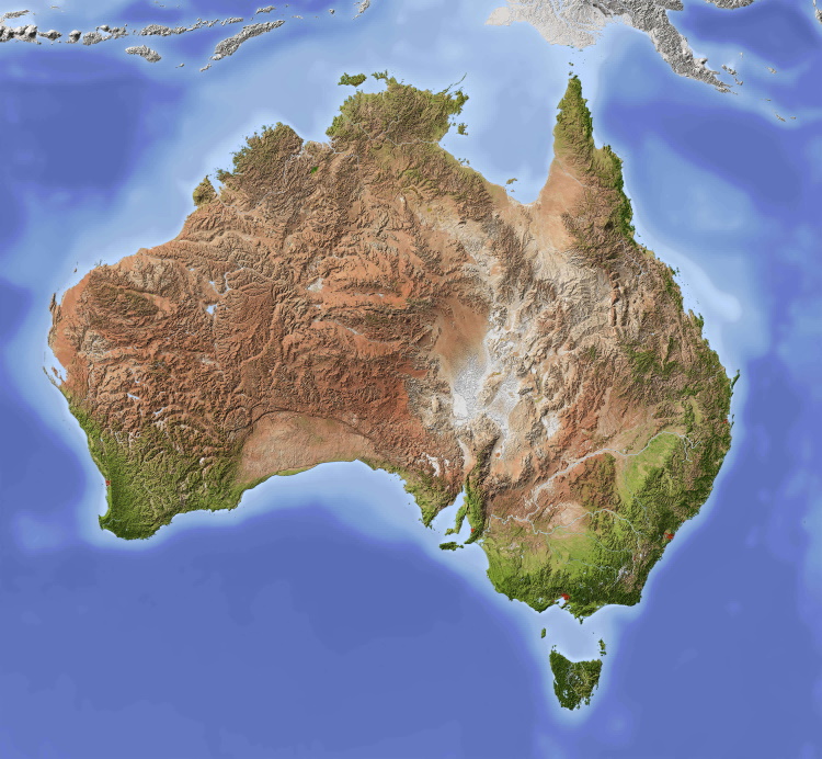
Given Australia lacks a complete and nationally consistent framework, this paper is the first to offer a comprehensive regional analysis across Australia that links projected Sea Level Rise/Surge effects with the economic losses on land use and property by sub-region and sector. Projections of SLR/S -related damages at the sub-regional level, driven by local geomorphology, coastal risk, asset exposure, and socioeconomic vulnerability, vary sharply across Australia. Location and values of property and land-use sectors also vary sharply between sub-regions, which generates large differences in economic damages across the country. In addition, the more fine-scaled and subnational modeling contained in this study captures local geomorphology, property values, and infrastructure density, helping councils and states to plan targeted adaptation. In this paper, specifically, a GIS-based framework is developed to project SLR inundation hazards in Australia, utilizing SLR height projections from Kirezci et al.,7. The methodology converts projected SLR heights into Australia’s digital elevation model (DEM) data and applies a ‘bathtub approach’ to delineate inundated areas. By integrating these inundation maps with digital economic datasets, this paper estimates future physical and economic damages at a consistent sub-regional scale under two key climate change scenarios.
…
Assessing cumulative SLR/S losses is essential because SLR generates progressive and irreversible impacts that accumulate over time. Projecting both physical and present-value economic losses highlights the expanding extent of inundation hazards and the increasing number of affected land uses and properties. These cumulative estimates provide a basis for long-term adaptation planning, investment prioritisation, and comparison across climate scenarios, ensuring that policy decisions reflect the full economic consequences of continued SLR/S. By 2100, under RCP4.5, SLR/S is projected to affect 267.5 thousand properties and 2.0 million hectares of land, resulting in a present-value economic loss of $855.1 billion, comprising $274.3 billion in property losses and $580.7 billion in land-use losses. Under RCP8.5, damages increase to 719.6 thousand properties and 3.7 million hectares, with total present-value losses reaching $1.91 trillion, including $705.7 billion from properties and $1.20 trillion from land use (see Table 2).
Estimating average annual losses is also important because it translates long-term SLR/S impacts into a standardized metric for consistent comparisons across regions and climate scenarios, supports evaluation of budgeting, insurance pricing, adaptation options, and enables the incorporation of climate-related damages into economic models operating on annual time scales. Under RCP4.5, average annual SLR/S damages comprise 3.6 thousand properties and 27.0 thousand hectares of land, resulting in annual present-value losses of $11.5 billion, including $3.7 billion from properties and $7.8 billion from land use. Under RCP8.5, average annual damages increase to 9.7 thousand properties and 50.0 thousand hectares, with annual present-value losses reaching $25.7 billion, comprising $9.5 billion from properties and $16.2 billion from land use (see Table 3). SLR/S damages are projected to reduce Australia’s GDP by an average of 1.15% per year under RCP4.5, increasing to 2.57% under RCP8.5. These estimates exclude losses to many environmental assets, infrastructure, and cultural values.

RIP Geelong